The Environment Agency (EA) like the many political parties with the word Democratic in their title seems ever farther away from what people imagine the organisation to be about. Protecting the Environment and the people seems not to be one of them if it gets in the way of its long term Parrett Estuary agenda at Chilton Trinity north of Bridgwater.
However any doubts that the EA doesn’t have a sense of humour or understands irony was firmly dispelled by its latest offering to the Chilton Trinity landowners. These are landowners whose land is impacted by downstream works resulting from planned construction of the £100M Bridgwater Tidal Barrier close to the town rather than is conventional practice at the mouth of the River Parrett.
In March 2018 each landowner was the recipient of a document called BRIDGWATER TIDAL BARRIER DOWNSTREAM FLOOD DEFENCES Landowner information Pack.
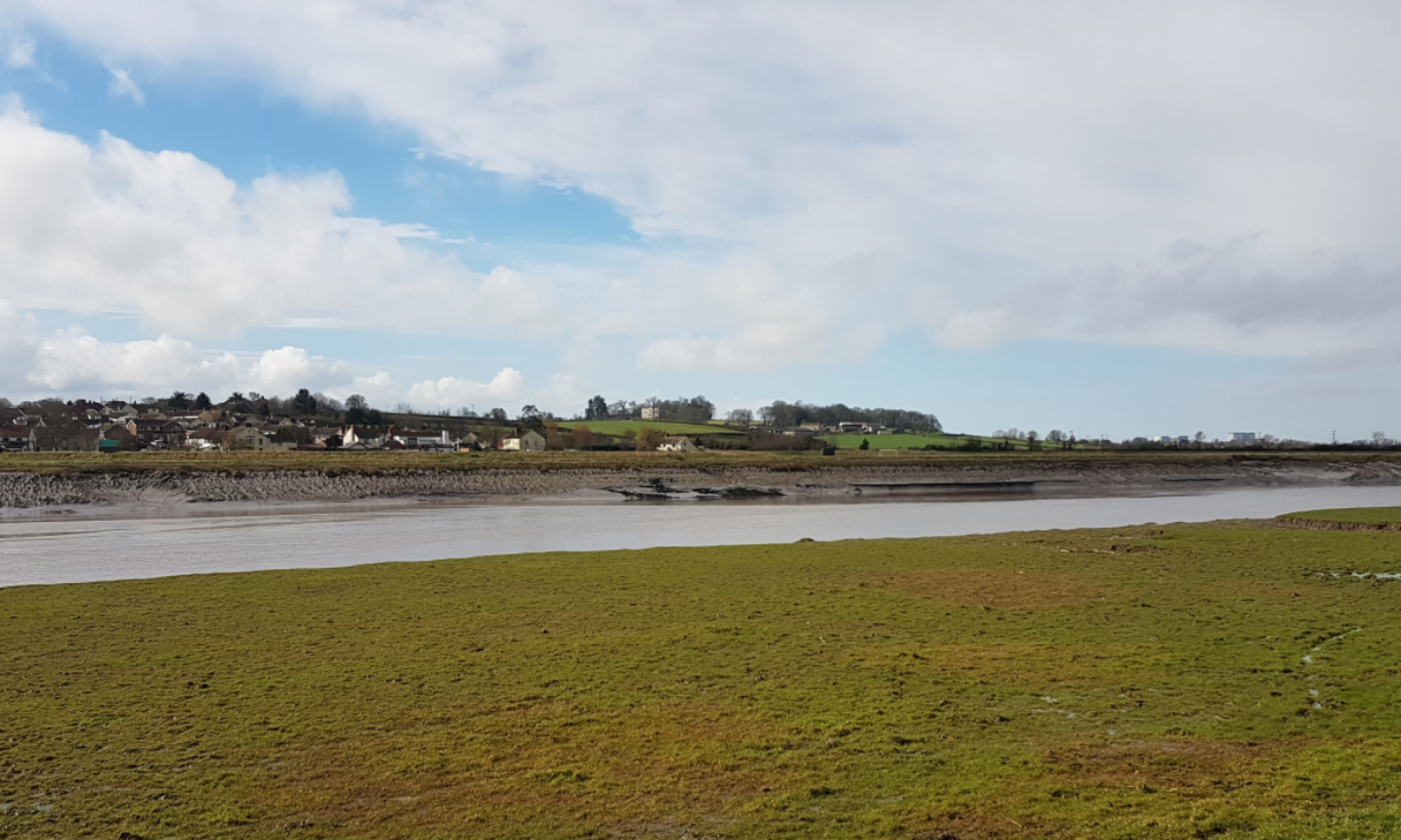
The EA’s apparent lack of understanding of the impact of salt water flooding onto farm land. is worrying. The expected floodwater is not like 2014 when the water that covered the Somerset Levels was predominantly fluvial run off (freshwater). This will be seawater coming up the River Parrett from the Seven Estuary that over tops the river banks.
This document also asks farmer’s to allow the Environment Agency to dig borrow pits in the land the EA are meant to be protecting. Borrow Pits are meant to be refilled with other less suitable soil so it does not lessen traffic as the EA claim but only if they are left as just open pits in which case they aren’t borrow pits. Do we really need to excavate the land we are meant to be protecting?
The alternative is a sustainable construction method that also seems to be a low priority of the EA. Construction of the bank improvements could be phased over a number of years using local contractors and material reclaimed from new developments.
The proposed pits will hold the seawater (saltwater) rather than see it quickly flushed away back to the river. Saltwater is poison to agricultural land and the habitat we currently have in Chilton Trinity. These pits will, according to the trial embankment test done for the Cannington Bends improvement scheme, need to be reopened or enlarged every 35 years of so to make up the levels as the made up river banks settle.
The EA promise going forward regarding maintaining bank levels quite rightly only talks about intent; the EA cannot provide a firm promise however they do know that once the land is poisoned the cost for further expenditure on bank raising will not be justified.
No one can say that the EA does not have a sense of humour especially when the Chilton Trinity farmers are encouraged by the EA to act as turkeys to vote for Christmas. The EA’s long term ambition of an inter tidal habitat remains our pantomime villain – he is behind us and we chose not to look around and see him. Whilst appearing to help the EA are actually creating a self fulfilling prophecy that will see the area become salt marsh.
This document
- Only talks about 2024 and not 100 years in the future (2124) which is much more interesting for long term prosperity of everyone including our farmers handing land onto future generations. ( nobody says what happens when the banks can no longer be raised)
- Confirms the level of protection they are planning to maintain to farm land is very low.
- Omitted the future flood maps.
- Omitted to mention that the flood water will be seawater .
- Demonstrates on page 4 a complete lack of understanding of the impact of saltwater onto agricultural land. (Some Lincolnshire farmland has still not fully recovered from the 1953 flood when the North Sea over topped the sea defences)
- Encourages the formation of borrow pits (actually just pits) that, when the banks of the River Parrett are overtopped, will trap seawater and ultimately destroy the value of the land its meant to protect. Destroying wildlife and fauna in the process that cannot handle saline conditions A case of the medicine killing the patient.
- Creates through the use of borrow pits mores areas of stagnant water that in our warming climate will be a breeding ground for insects, one of the reasons given for not damming the River Parrett.
- Fails to mention the pits will need to be used and extended at least 3x as according to the embankment trial the river banks will need raising every 35 years.
- Does not mention the final height of the river banks in 100 years’ time, for every metre raised the bank get wider by 2 x 4.0m and the banks will need to be raised by around 0.80m. (2’6″) excluding the continued settlement of the river banks that always means 2 steps forward and always 1 step back.
- Re-confirms that agricultural land will be preferentially flooded.
- The EA commitment is qualified as only an “intent” . Will SDC ratepayers pay for the maintenance when they don’t get anything back? It’s a huge liability that SDC could end up with that has no benefit to the town. In a very short period of time, the cost of maintaining river banks to protect a small area of land and some ponds (flooded borrow pits) will not be considered worthwhile.
No one can say we were not warned about this EA scheme and still no one asks what happens after the proposed scheme, the Bridgwater Tidal Barrier, can no longer counter rising sea levels?
One can only appreciate the irony and the humour of the situation along with the EA’s other recent bits of entertainment
- The gathering up the local newt population at Steart and their subsequent disappearance
- Diverting migrating elvers away from their normal route to our freshwater river system into the Steart Peninsula scheme.
- Planning to build a tidal barrier as far inland and upstream as possible contrary to all normal accepted good practice.
to paraphrase Churchill
never has so much money been spent in such a small place to so little effect
This document is at best poorly put together and at worst a device designed to obscure the true impact of the plan from those most affected
As this slow-motion environmental, and for Bridgwater, and economic car crash occurs we should not forget that three prominent members of the Wessex Regional Flood and Coastal Committee live within a mile or so of where this unnecessary and increasingly misrepresented process is going on. No objection or question is heard regarding the impact of the EA Scheme; there is no visible oversight.
The Internal Drainage Boards are equally silent as is the Somerset Rivers Authority
Finally, you know its wrong when that well-known litmus test is applied; The scheme in its present form has the support Ian Liddell-Grainger


You must be logged in to post a comment.